Showing posts with label canada. Show all posts

Thursday, August 10, 2017

Squamish Overnighter

It can be hard to appreciate where you are when the whitewater is tough, it sometimes takes a different sort of trip to soak it all in.
                                                 

                                                  BETA

Stream:  We drove past the Ashlu bridge and continued up the Squamish Service Rd towards Fear Canyon.  We got to a creek that had been blown out and put in there.  We could hear the sediment moving along by a suspended load as it flowed through a culvert.  The creek only had 100 cfs or less so the amount of rock it was moving impressed us. 

The blown out creek and the origin of the mass wasting event.
All Photos: Priscilla Macy

Because of the newly deposited sediment the ground near where we put in was not as stable as it appeared.  A few of us sank knee deep through the rocks.  The deceptive ground reminded us of the scene from Halo Effect where the team gets their vehicles stuck in the Icelandic mud.

Though our scenario was far less severe.


With all the islands on this river, we were hoping there would be some good squirt boating for Emile.

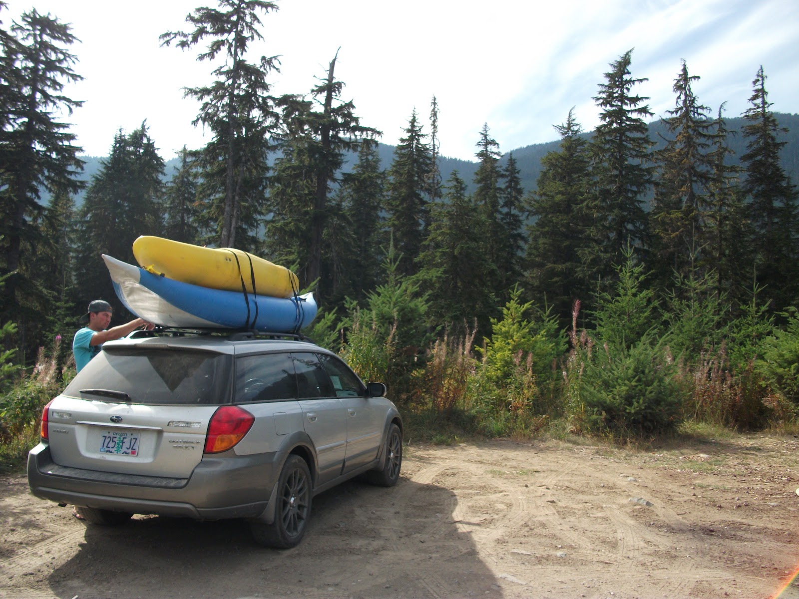
We brought as much gear as we could squeeze in (and on, not necessarily a recommended technique) for what we thought would be flatwater and riffles.


Emile ended up not trying to squirt boat because the water was cold and shallow, he was pretty uncomfortable by the time we got to camp.  As it turned out there were numerous class II-III rapids that were enjoyable for us in the creek boats, but soaked and chilled Emile to the bone.

We found refuge on a big island in the center of the Squamish (50.0361, -123.3462), no doubt the best campsite I have ever used.  Fire wood was abundant, the committee for keeping it going was headed up by Ross George on this trip.

Since first driving up this part of the Squamish to run Dipper Creek, the prospect of camping along the river with a view of this glacier had called to me.  It ended up being everything I had hoped it would be.

Emile brought his training kite (to practice for kite-boarding) and we played around with that a bit in the morning.  The loads of firewood are visible in the background here.
All Photos: Priscilla Macy


The run ended up having more engaging whitewater than we had expected, big water class II-III waves that just kept moving along with no slack water.  Just enough whitewater to keep us engaged, but easy enough to sit back and enjoy the ride.  The most interesting part was there were so many channels between the islands we got to pick different routes, most with 1,000 cfs or so.  At one point the group split up and the channels didn't rejoin for about 20 minutes.

We were all pleasantly surprised with the run and I'd do it again.  I think it's part of the Elaho-Squamish run that has a write-up in the River Gypsies Guide to North America.  I'd put in higher and take out lower than we did on this trip next time as the combination of a fast moving river & no scouting means miles are covered quickly.

Flows:
Sept 4/5, 2016:
This was a fine flow,  could do plenty higher or lower but this was a friendly med/low with fun waves and quickly moving water the entire way (no stagnant pools).  Many options to take different channels.  Incredible camping on the islands.  We camped here 50.0361, -123.3462

Our put in:   50.0711, -123.3435
Our take out:   50.0015, -123.3249

 Elaho Gauge


Squamish Gauge

Access:   Take Hwy 99 to Squamish, just South of the Cheekye River turn West onto Squamish Valley Rd.  In about 15 miles is a bridge over the Squamish leading to the Ashlu (49.9144, -123.293).  This is a possible take out, or continue upstream to any number of roadside pull-offs.

Do not travel over the bridge up to the Ashlu, instead stay on the main road paralleling the Squamish on river left.  About 13 miles after passing the Ashlu bridge is the blown out creek we put in at.  Next time I would continue another 4 miles past this blown out creek (17 miles past the Ashlu bridge/50.0712, -123.3431) and turn left to travel up the Elaho.  2.5 miles after making this turn there is a bridge across the Elaho marking the take out for Fear Canyon and I would put in at this bridge (50.1145, -123.4294).

*Class V boaters could start with a Fear Canyon run and continue down this stretch*

Thursday, October 4, 2012

BC 2012: Day 1 & 2

Day 1 was overall a success with one major mistake. 


 Once we arrived in Canada we attempted to take a small highway that we thought would be a shortcut, turns out it took us through the heart of Vancouver where we encountered over 100 stoplights, and about 4 of every 5 required us to stop.  It was hellish and by the time we made it to our first stop at Lynn Creek in North Vancouver we were pretty stressed from the city.  Lynn was a trickle but a nice hike to break up the drive.

Next stop was the comparatively low Furry Creek.  The unique setting inside a golf course was interesting, but the boats stayed on the roof as we headed towards Whistler.  Finding expensive food, gas, and beer ($55 for a 30 rack), we set camp at Cal-Cheak campground and tried to figure out logistics for day two.

Day 2


   We were very amped to get on the water this day.  After struggling a bit to find the put in for the Cheakamus (GPS wasn't cutting it in Canada and we didn't have a map yet), we finally set the scooter shuttle and arrived at the put in to see flows much lower than any picture I had seen.  However, more than enough water was available to float our boats so in we went!  The left side of the put in drop landed on rocks at this flow, so I scoped out a line down the right which was a fun start to the trip.

Stroke number 12 of many on the trip
From the perspective of a bird flying 4 inches above my head.

From here to the take out was a blast, excellent class III-IV boulder gardens with one scout at triple drop and another at a blind corner.  We took out stoked on life and ready for more!  The shuttle scooter needed some work so we headed to Whistler to take care of that.  With that taken care of, we were ready to step it up a bit!

  Callaghan would be the afternoon ticket, so after some hotdogs at the take out we faced similar challenges finding the put in. Our intuition sent us to the right point and we put on to very low water (certainly below recommended flows).  Nate Pfiefer has a detailed report of this section and his comparison to the Truss is spot on.  This run is what I wish the Truss was, more of the upper section and cleaner waterfalls.  We portaged the very first ledge and soon enough were upon the first waterfall after some fun boulder gardens.  The normal line was too low so we agreed on the right side, Nick's boat decided to go first, followed shortly thereafter by Nick via a leap off the center rock.  After recovering his boat in the pool below, I took my turn and following the example of the IK had a sunny side up line.

Choosing to deal with the waterfall in my boat.

The next couple ledges were fun and then we were at the signature drop of the Callaghan.  Nick had not run anything this tall in a long time so there was a bit of apprehension.  I went first and set up for media of Nick.  Unfortunately his stellar efforts and clean line were not reciprocated on my part and the shots did not come out well, sorry bud.  Fortunately, many more picture opportunities awaited us in the near future.

Nick's timing on this picture correlates nicely with the precision of his line.

Below here we paid the price for putting on with low water.  It was fun piecing all the marginal lines together, but we were tired by the end.  There were a few fun drops near the end, keeping us entertained until the HWY 1 bridge.  From here it was a short, but tortuous paddle (especially in the rock loving IK) down to our campsite.

Unfortunately my scooter destroyed itself on the shuttle road and a moderate jog awaited me, but I was too pleased by the day to let it get me down.  Another trip into Whistler for a map and zip ties for the scooter's fuel tank and the day neared its end.  Camp was mellow, and we enjoyed the rest of our hotdogs before calling it a night, ready for the trip of the trip the following day!

Day 3 coming soon...

   -Jacob

Thursday, September 27, 2012

Return of the Duck: A low water attack on BC


Growing up across the street from each other, Nick and I had many adventures during the high school years.  Last year Nick first approached me with the idea of a trip to Canada and a possible return into paddling for himself.  I was stoked on the idea and when it fell into place to make the trip this September I was sold.  Nick got into a boat once this summer on the Provo river in Utah before the trip, and before that a 3 year hiatus.  Confident in our ability to work as a team, we set a pretty ambitious schedule of class IV-V runs using low water to our advantage. Nick would be using an IK (the duck) so we would use the morning of our second day as a warm up, and it would be pretty much game on from there out.

 Day 1

   - Drive north and check a couple park and hucks (too low)
   - Deal with the class five mank that is Vancouver, BC
   - Camp near Whistler

Day 2

   - Cheakamus in the morning
   - Callaghan in the afternoon

Day 3

   -Rogers Creek
   - Skookumchuck hotsprings

Day 4

   -Drive to Wells Grey, try to get clean

Day 5

   - Mahood River

Day 6

   - Upper Clearwater

Day 7

   - Lower Clearwater
   - Drive home

This is obviously a lot to cover, so I will write these in installments of each day.  Some quick teaser shots..

Below the triple on Rogers
Driving along Lilloet Lake
 
  
Shawn lines up on the Clearwater

Bailey Chute on the Clearwater.
  
Nick at the lip of the famous Callaghan Falls.
Manifestation camp.

Tune in next week for more BC goodness!

     -Jacob