Showing posts with label la grande. Show all posts

Thursday, July 6, 2017

East Fork Eagle Creek (Wallowa's)


 Photo: Michael Freeman

Michael Freeman and I checked this out in the Spring of 2013.

We hiked 6 miles to this point 45.1404, -117.3032, camped, then hiked up and scouted some more.

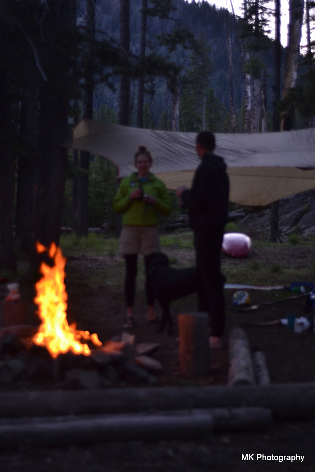
Camping in a drizzle.
 Photo: Michael Freeman


We didn't find anything we wanted to run that high up so returned to a meadow and floated down from there.  If I went back I'd put in here: 45.0869, -117.3067 where a 2.5 mile hike puts you in right at the top of the worthwhile whitewater.

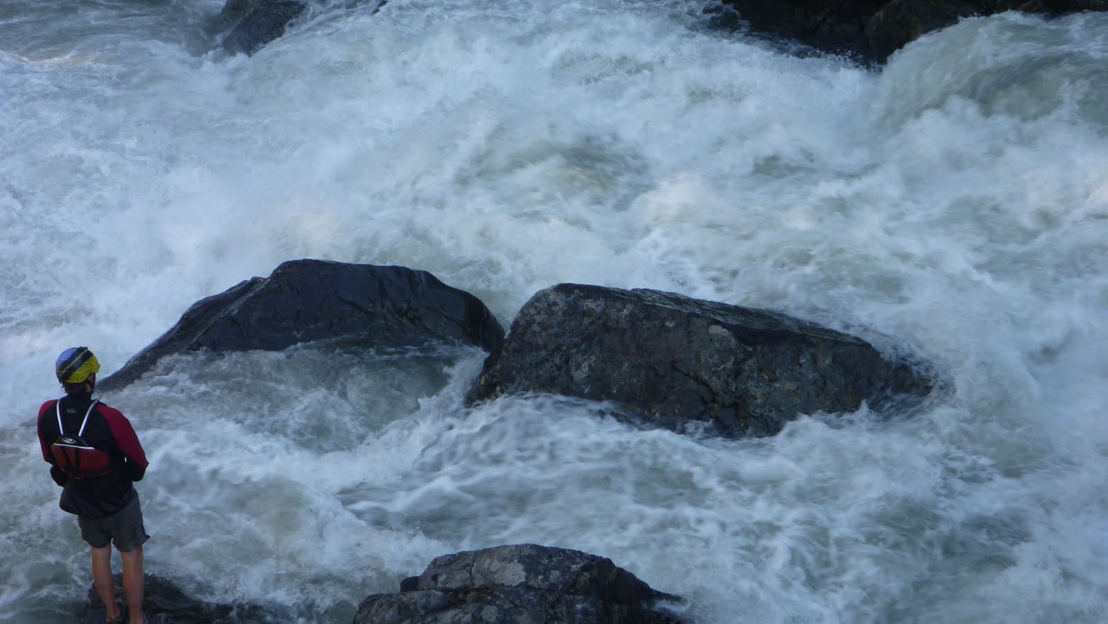
To get there, drive to the East Eagle Trailhead.  Hike the trail on river left a little under 2.5 miles.  The spot to put in is notable:  For one, it is where the trail crosses over Curtis Creek.  Second, there will be another small tributary sliding down the mountainside into East Eagle from the other side of the creek.  Finally, there will be a large class V-VI rapid on East Eagle.  Scramble down to the creek and put in just below this rapid, which pinches down and drops 20+ feet.

Right around the corner the creek narrows, you won't have far to go before you will want to scout a  triple cascade.  There was an unfortunate log in the final tier when we were there in 2013 so we portaged the set on the left via the trail.

 Returning to the creek via a short glissade.
Photo: Michael Freeman


Downstream was a fun section of whitewater with a handful of unique bedrock rapids in the class IV-V range.

 Photo: Michael Freeman

Below the bedrock the creek looses character and runs through boulder channels that appear to change year to year.  The creek still has gradient so it kept us focused and we had a good time splashing down it.  We had one short log portage in this section in 2014.

At the very end was a bridge that had been destroyed by high water, we floated over it but its definitely worth a scout at the beginning of the day on your way up.

If you wanted a long day of boating you could combine this section with the main stem of Eagle Creek.


We had 940 cfs on the Eagle Creek Nr New Bridge gauge (which can be found here).


The Imnaha gauge was also fluctuating between 1200 and 1400 cfs from snowmelt when we ran the EF of Eagle Creek.


Click to enlarge map


    -jacob


Thursday, August 23, 2012

Tenderfoot

After finding many of the streams of the Wallowa Mountain Range to hold quality whitewater, Matt and I convinced ourselves every stream originating atop this ancient granite batholith had the potential to house a classic stretch of whitewater.  We had our eyes set on a particularly intriguing section with an outlandish gradient and plenty of water.  To further our curiosity, there were rumors of buttery smooth water slides ambitious locals use in lieu of a waterpark in the summer.

Preparing to embrace the promised tender feet, we picked a route involving a 2 mile ascent to the top of a pass, followed by a mile bush-wack to a basin just above the first section of gradient.  Shuttled by Caitlin who is equally ambitious, we got underway after some fun with the camera.  Both Matt and I chose to shoulder our boats with overnight gear, which I was moderately concerned about, but in hindsight was certainly the right choice.  The hiking was pretty easy and Matt kept us on the trail even when it was buried in snow.  Eventually we came to the steep climb to the top of the pass, which was made challenging by a cover of snow.  Reaching the top we took in yet another fantastic view provided by this special area.

 The downclimb is where I started to feel tired.  Our shoulders were starting to let us know their part in the struggle, and our legs were burning from the uphill climb.  We made good time down to the valley bottom and were welcomed by a herd of what must have been 100 elk.  Matt got some excellent footage of the herd splitting, charging up the hill, then merging at full speed.

At the put in.


We were stoked to be at the water, with just enough water to float and a gorgeous setting we pushed off with high optimism.  Unfortunately the first portage was only 50 yards downstream.  We decided to take advantage of the trail and portage until the creek looked more runnable.  We eventually found this point, 4 miles later at the designated camp once the main stem of the river was reached.  We kept the best attitudes we could afford as we struggled late into the day.  We passed our planned meet time with Caitlin (who hiked a different trail to meet at camp), and she spent the next hour or so trying to find us.  Finally we met up and she informed us we were close to camp which was welcome news.  We took a short break and exchanged stories before making the final trudge into camp.


We ate what food we had and schemed future movie ideas before falling asleep in one of my favorite places kayaking has taken me.  We awoke the next day ready for a high water run down a stretch of river we had enjoyed the year before, the headwaters of the Imnaha.  With the higher flows (nearly double), we were apprehensive about the rapids, but confident we could deal with whatever we found.  Halfway through the day and we were happy about the extra flow.  This is one of the few class IV-V rivers I have run that becomes less challenging at high flows.  We had a couple extra portages this year due to wood, but also got to run a drop we walked last year.  Inclination gorge was just as intimidating as last year, and after a lot of thought and focus I decided to join Matt for another round through this harrowing rapid.  We both had some interesting moves and some backwards moments, but we kept it online and upright for an exciting run.  The hungry hole at the end of the gorge was avoidable on the far left at this level and we rejoiced as soon as we could eddy out!

We only had one rapid and one short portage to seal launch before the short class III run-out that we blitzed because once again we had failed to arrive at the meet spot with Caitlin on time.  We all found each other at the take out and set out in search of burgers and the Terminal Gravity brewing company in high spirits.

After satisfying our hunger and thirst we returned to La Grande a little more knowledgeable about the area and very tired.  However, I still had a 5 hour drive to the put in on the Deschutes for a field trip.  Armed with Matt's Gazetteer and a homemade mocha, I set out into the night.  However, that is another story in itself.

I believe we had 2,000 cfs on the Imnaha gauge.


   -Jacob


Thursday, May 24, 2012

County Teaser

Here is a quick teaser showing some of the wealth located in NE Oregon.  The melt is about to start, get out and explore!


    Some pictures Matt took of the intimidating gorge the crew took care of a few weeks back can be found here.

              -Jacob

Sunday, October 2, 2011

Lostine River: Williamson Campground to Pole Bridge


The Lostine River really stood out on the maps because it's a deep granite canyon with lots of steep sections and has a road that more or less follows the creek way up into the mountains. If you think of the streams in the Wallowas as the spokes of a bike wheel, this is one of the few where the road gets past the rim. The easy access, great camping, and steepness was calling my name and so I started my exploration there, heading up to the creek several times over the course of spring and getting a sense of what flows we needed. When Jacob and I ended up there during our circumnavigation, flows were too high, but we definitely saw the promise, and we got a delicious taste when we knocked off Cherry Picker.
The highest water season in decades forced me to wait what seemed like an eternity for the water to drop, but finally the time came. It started out with some emails, trying to get some good boaters to make their way east. That's one thing that's been hard about moving to a small town in an area not known for kayaking: there aren't many kayakers, you've got to import them from elsewhere. Thanks to some good convincing by Jacob that I wasn't just crazy and the whitewater wouldn't just be a manky-woody-portage-fest, some folks expressed interest. With the groundwork done, and a solid idea that the flows were right, a small group finally came together. First, we knocked off the obvious treasure, Wiki 1.

The first time down the creek we had Chris Arnold, Ty Overeem, and me. We spent a lot of time hiking off the road and scrambling down, only to get a look at a few hundred yards of clean stream. We couldn't really tell how steep stuff was since we were looking from so high up, but some of it made the creek seem like one giant steep boulder garden. Once we noticed the abundance of single-boat eddies, we decided we might as well go for it and we put on. The put in, by the way, is really nice, some wooden steps lead from a campsite to a serene pool with a gravel beach, a stark difference from what lies just around the corner.

Ryan Scott contemplates the calm before the storm.
Heading around the corner from the campground, the creek immediately begins to tilt on edge and starts rolling on downhill. There are lots of nice little eddy moves and smaller boofs as the river gives you a chance to warm up and get acquainted. About a mile into the run, the first recommended scout shows up, pretty much at a blind right-hand corner. Again and as always, never run a blind corner! It's best to hop out at a landslide on the right and walk down to scout. This one really makes you turn back and forth a lot while dropping at a dizzying rate; we called it Tailspin. The photos only include the middle part of the rapid, it's nearly a quarter-mile long end to end. The most important move was a really nice cross-current boof to avoid a nasty log jam blocking half the river.

The Crux move in Tailspin
The Satisfaction of being post-crux: Jacob, Ty, and Ryan get it done in perfect formation.
Still Spinning.
Following Tailspin, the river eases off a bit, but there's no point on this whole run where you can relax. Constant boulder boofs and some wood avoidance keep you on your toes. At some point, there's another blind right corner with some house-sized boulders coming off of a landslide on river left. Stop early for this one, an eddy at the corner is deceptive and caught one of our paddlers off guard on our first decent, forcing him to run the corner.

Condemnation Corner
**Log gone in 2016**
Once he knew he had missed the eddy, he turned and saw that he was headed straight for a river-wide log. Seeing no way out in his boat, he jumped ship and scrambled on to shore, sustaining some severe bruises but otherwise fine. By the time the rest of us ran down shore and made visual contact, he was standing up on a huge boulder and OK, much to our relief.

No good line.
**log gone in 2016**
Condemnation is best scouted and portaged on the left, but hopefully by the time this one comes in again, the wood will have disappeared. And after the portage- more bouldery goodness! There were a couple spots that required some tricky wood-avoidance, but this section was mostly clean as well and quite enjoyable.
Soon the walls start to rise, and the Last Delight Gorge emerges from the forest. You can see it coming from well upstream because there's a huge granite face on river right with nothing growing but stunted little bonsai trees. Once you see this wall, get out on the left to scout/portage the entrance drop, which had wood for us.
Once you get past the entrance, the deepest part of the gorge comes into view, and the substrate changes from boulders to bedrock.

Feeling Delighted! 
The gorge is short, less than a quarter mile, but it sure packs a punch. There's a diagonal hole at the top, then a moving pool into a killer boof. We saw this one when we were scouting before the run, standing on the rocks above like giddy school boys. I've heard from some locals that the boof ledge is the best place around to watch salmon jump. At about 8 feet, they can get above it, but most fish will have to make a few attempts and will enact their best aerial gymnastics.

Scouting the boof 
And downstream of the boof 
Jacob digs deep. 
Ty styling the main attraction.
 

Below the boof, there's a log jam that looks unrunnable, but can be snuck under on the left. There's a hole under the logs that you kinda blast through while ducking, but the move is quite manageable.

Getting ready for the logjam. 

Many logs, one line. 

After the jam, there's a nice eddy on the left that we all stopped in, just above the last move of the run. The final move consists of a 90-degree turn against a wall that leads immediately to a speedy ski-jump style launch into or over a big hole. The hole took a couple of us for a ride over the two runs, but didn't hold on too tight and everyone fought till flushing.

Coming to the end.
 

At the take out, we all enjoyed a cold one, thanks to Oakland who dutifully guarded the cooler while we were on the river. I was really satisfied that this run turned out so well and the boys were far from disappointed. In fact, we all agreed that in terms of steep, bouldery goodness, this was the best whitewater any of us had done... too bad it's only in a few weeks a year.

Video with plenty of footage from the Lostine, as well as the Imnaha.

Saturday, September 24, 2011

Part Two: Circumnavigation


Hoping that water would have dropped to a reasonable level after our trip to Idaho, Matt and I loaded up and headed out to see what the creeks of the Wallowa's would look like with water in them. Our first destination was magical looking V+ that would go with less water, but wasn't something we wanted to tangle with on this trip. Navigating the gravel roads was challenging at times, but Matt kept us on track aside from one short detour that lead to this old house.


After a forced 22 mile gravel detour around a 3 mile section of closed road (including the first of two bobcat sightings), we made it up to a promising fork that had plenty of water. We saw a massive granite face across the stream that was enough to get us to hike up the trail a ways hoping the stream would loose its sediment character farther up when this granite intersected the stream. We made it about half mile before deciding it would be more promising to head elsewhere. Higher up could be worth it, but we didn't have the time to explore at the time.

The massive granite face.

A gorgeous place.

What we were driving across may have been a road at some point, but at this point it was just a part of the creek.

Matt had a lead on a promising section of stream on the main fork, so we scoured the maps and this looked like a good put in.

I thought this sign was silly as we had been on loose gravel for the last 4 hours.

The flows were deceptive as it was running clear, but it was obvious once on it that it was high water. There really were not good eddies. Just slow spots near the shore with shrubs to grab onto. We almost portaged the jam in the next picture as we had to stop 100 yards upstream as there were no more eddies and it looked like it blocked the whole river. I portaged high, Matt low. I was able to get another vantage point and informed Matt it was a very clear route. It may look like there is a large eddy on his left, but that is deceptive, it was moving downstream quickly.

We came to some odd ponds on river left that signaled that we were about the enter the gorge. The next half mile was stressful and ultra fun at the same time. It was endless class four boulder gardens (or would have been at lower water) with boof after boof and lots of splashiness. The stressful part was it was challenging to stop and the river was moving fast. I made a move to catch a shrub on the left above this drop as did Matt.

Re-enforcing the addage that scouting blind corners on exploratory trips is a good practice.

We ended up portaging as the initial hole at the top was big and uniform, followed by a ramp into another large hole at the bottom. It would be more runnable at low water. Below here was some pushy class IV that didn't last long. More class II-IV lead to a campground, our take out, and some nice people willing to help us shuttle. This section would get run more often if located in western Oregon, and is still worth doing if you make a trip to the Wallowa's.

The take out at the campground.

 A local told us he hadn't seen the river this high at this time of year his entire life.
The next day we decided not to run the next drop on the list as it had a lot of water going over it. So off to complete the circumnavigation of the Wallowa's and finish our scouting. The stream we spent the most time on (The Lostine) had more water than we were interested in for the middle section that ended up being the most classic of the Wallowa runs, but we did cherry pick one good rapid higher up towards the confluence with the EF.

Head cam footage of the Cherry Picker Rapid.


The Chase from Jacob Cruser on Vimeo.

A picture perfect take out.


We had about 1600-1700 cfs on the Eagle Creek near New Bridge gauge for our run on Eagle Creek.

And for the Cherry Picker we had over 1,000 cfs on the Lostine Gauge.

   -Jacob