Showing posts with label sparta. Show all posts

Thursday, July 6, 2017

East Fork Eagle Creek (Wallowa's)


 Photo: Michael Freeman

Michael Freeman and I checked this out in the Spring of 2013.

We hiked 6 miles to this point 45.1404, -117.3032, camped, then hiked up and scouted some more.

Camping in a drizzle.
 Photo: Michael Freeman


We didn't find anything we wanted to run that high up so returned to a meadow and floated down from there.  If I went back I'd put in here: 45.0869, -117.3067 where a 2.5 mile hike puts you in right at the top of the worthwhile whitewater.

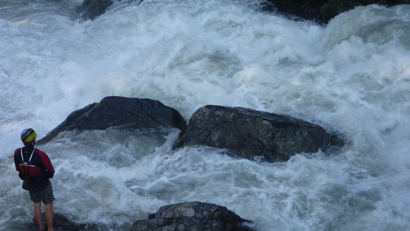
To get there, drive to the East Eagle Trailhead.  Hike the trail on river left a little under 2.5 miles.  The spot to put in is notable:  For one, it is where the trail crosses over Curtis Creek.  Second, there will be another small tributary sliding down the mountainside into East Eagle from the other side of the creek.  Finally, there will be a large class V-VI rapid on East Eagle.  Scramble down to the creek and put in just below this rapid, which pinches down and drops 20+ feet.

Right around the corner the creek narrows, you won't have far to go before you will want to scout a  triple cascade.  There was an unfortunate log in the final tier when we were there in 2013 so we portaged the set on the left via the trail.

 Returning to the creek via a short glissade.
Photo: Michael Freeman


Downstream was a fun section of whitewater with a handful of unique bedrock rapids in the class IV-V range.

 Photo: Michael Freeman

Below the bedrock the creek looses character and runs through boulder channels that appear to change year to year.  The creek still has gradient so it kept us focused and we had a good time splashing down it.  We had one short log portage in this section in 2014.

At the very end was a bridge that had been destroyed by high water, we floated over it but its definitely worth a scout at the beginning of the day on your way up.

If you wanted a long day of boating you could combine this section with the main stem of Eagle Creek.


We had 940 cfs on the Eagle Creek Nr New Bridge gauge (which can be found here).


The Imnaha gauge was also fluctuating between 1200 and 1400 cfs from snowmelt when we ran the EF of Eagle Creek.


Click to enlarge map


    -jacob


Saturday, September 24, 2011

Part Two: Circumnavigation


Hoping that water would have dropped to a reasonable level after our trip to Idaho, Matt and I loaded up and headed out to see what the creeks of the Wallowa's would look like with water in them. Our first destination was magical looking V+ that would go with less water, but wasn't something we wanted to tangle with on this trip. Navigating the gravel roads was challenging at times, but Matt kept us on track aside from one short detour that lead to this old house.


After a forced 22 mile gravel detour around a 3 mile section of closed road (including the first of two bobcat sightings), we made it up to a promising fork that had plenty of water. We saw a massive granite face across the stream that was enough to get us to hike up the trail a ways hoping the stream would loose its sediment character farther up when this granite intersected the stream. We made it about half mile before deciding it would be more promising to head elsewhere. Higher up could be worth it, but we didn't have the time to explore at the time.

The massive granite face.

A gorgeous place.

What we were driving across may have been a road at some point, but at this point it was just a part of the creek.

Matt had a lead on a promising section of stream on the main fork, so we scoured the maps and this looked like a good put in.

I thought this sign was silly as we had been on loose gravel for the last 4 hours.

The flows were deceptive as it was running clear, but it was obvious once on it that it was high water. There really were not good eddies. Just slow spots near the shore with shrubs to grab onto. We almost portaged the jam in the next picture as we had to stop 100 yards upstream as there were no more eddies and it looked like it blocked the whole river. I portaged high, Matt low. I was able to get another vantage point and informed Matt it was a very clear route. It may look like there is a large eddy on his left, but that is deceptive, it was moving downstream quickly.

We came to some odd ponds on river left that signaled that we were about the enter the gorge. The next half mile was stressful and ultra fun at the same time. It was endless class four boulder gardens (or would have been at lower water) with boof after boof and lots of splashiness. The stressful part was it was challenging to stop and the river was moving fast. I made a move to catch a shrub on the left above this drop as did Matt.

Re-enforcing the addage that scouting blind corners on exploratory trips is a good practice.

We ended up portaging as the initial hole at the top was big and uniform, followed by a ramp into another large hole at the bottom. It would be more runnable at low water. Below here was some pushy class IV that didn't last long. More class II-IV lead to a campground, our take out, and some nice people willing to help us shuttle. This section would get run more often if located in western Oregon, and is still worth doing if you make a trip to the Wallowa's.

The take out at the campground.

 A local told us he hadn't seen the river this high at this time of year his entire life.
The next day we decided not to run the next drop on the list as it had a lot of water going over it. So off to complete the circumnavigation of the Wallowa's and finish our scouting. The stream we spent the most time on (The Lostine) had more water than we were interested in for the middle section that ended up being the most classic of the Wallowa runs, but we did cherry pick one good rapid higher up towards the confluence with the EF.

Head cam footage of the Cherry Picker Rapid.


The Chase from Jacob Cruser on Vimeo.

A picture perfect take out.


We had about 1600-1700 cfs on the Eagle Creek near New Bridge gauge for our run on Eagle Creek.

And for the Cherry Picker we had over 1,000 cfs on the Lostine Gauge.

   -Jacob