Beta
Stream: This is one of the better adventures in Oregon. Oregon Kayaking has a good history of the run that makes for interesting reading.
Exploring the Salmon River Canyon prior to the first descent
Salmon Canyon, fourth known descent
Salmon Canyon; First no portage descent
Salmon Canyon; Complete Guide
It is well described there, so I'll keep my info concise.
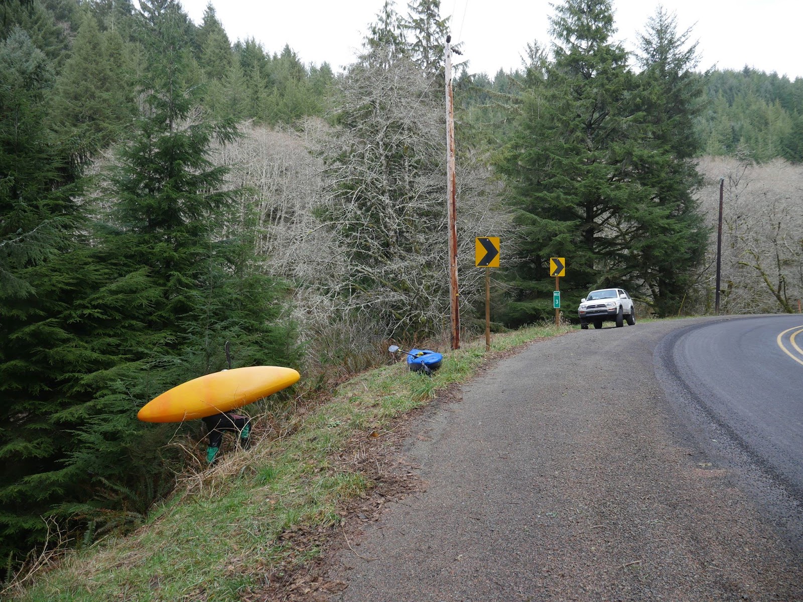
Either hike up from the bottom six miles or run shuttle and hike two miles. The two times I ran SRG I did the shuttle. The ideal situation is the shuttle with a shuttler driver.
Either way, hike to the meadow at this location and traverse the bottom of a small cliff to pick up a faint trail down the ridge-line to the stream. The first drop is Split Falls and is the most straight forward drop on the run. It's a fun and stress-free drop.

Portage the next small boulder garden on the left (though it has been run), then catch the next available eddy on the right for a seal launch portage. Below the seal launch there is a fair bit of class II until you arrive at Little Niagara. Scout on the right, run center finishing left with a strong boof to avoid a shelf in the center and a cave behind the drop on the left.
Just downstream is Vanishing Falls, which gets portaged more often than ran. Usually via a throw and go on the right, make sure you jump past the shelf into the deep water in the middle of the channel. Be organized here as just downstream is a sticky ledge you don't want gear or people floating into.

Scout the exit ledge on the right, it's a sticky hole and the safety situation isn't perfect. However if you are right and keep your nose up it's pretty easy to clear the hole. I haven't heard of anyone having issues here even though it's scary looking.
A short bit of easy floating and a couple small ledges lead you to a narrow and beautiful hallway leading up to Frustration Falls. What an incredible place.
Scout the first tier of Frustration in the middle if the log bridge is still there, it falls off to the left harder than it might appear. If flows are good its a great boof. The channel on the left just below the landing zone exits via a nasty sieve, don't go over there.
Scout the second and third tier's from the right side, usually done before running the first tier but not always. The second tier has a reputation of being weird and hard to run well, so some people seal launch in right above the final 30-40' drop. The wall downstream is undercut, but no one has run into trouble there yet.

Exiting this pool is the limiting flow factor on the run. The far left channel lands in the narrow exit to the pool. It can be a challenging fight at normal flows, and impossible at high flows.
It is possible to portage Frustration Falls on the right.
Next up is a twenty footer usually run leftish. Then catch an eddy on the right to deal with Final Falls. There is a tiny tree some people repel off of, or you can jump. People jumping from the repel point have hit bottom before, so I like to walk down to a small perch closer to the falls and jump into the boil at its base.

Final Falls has been run a few times, here is a video showing lines.
Exploring the Salmon River Canyon prior to the first descent
Salmon Canyon, fourth known descent
Salmon Canyon; First no portage descent
Salmon Canyon; Complete Guide
It is well described there, so I'll keep my info concise.
Either hike up from the bottom six miles or run shuttle and hike two miles. The two times I ran SRG I did the shuttle. The ideal situation is the shuttle with a shuttler driver.
Either way, hike to the meadow at this location and traverse the bottom of a small cliff to pick up a faint trail down the ridge-line to the stream. The first drop is Split Falls and is the most straight forward drop on the run. It's a fun and stress-free drop.

Portage the next small boulder garden on the left (though it has been run), then catch the next available eddy on the right for a seal launch portage. Below the seal launch there is a fair bit of class II until you arrive at Little Niagara. Scout on the right, run center finishing left with a strong boof to avoid a shelf in the center and a cave behind the drop on the left.
Just downstream is Vanishing Falls, which gets portaged more often than ran. Usually via a throw and go on the right, make sure you jump past the shelf into the deep water in the middle of the channel. Be organized here as just downstream is a sticky ledge you don't want gear or people floating into.
Matt King has a good line off Vanishing Falls

Scout the exit ledge on the right, it's a sticky hole and the safety situation isn't perfect. However if you are right and keep your nose up it's pretty easy to clear the hole. I haven't heard of anyone having issues here even though it's scary looking.
A short bit of easy floating and a couple small ledges lead you to a narrow and beautiful hallway leading up to Frustration Falls. What an incredible place.
Scout the first tier of Frustration in the middle if the log bridge is still there, it falls off to the left harder than it might appear. If flows are good its a great boof. The channel on the left just below the landing zone exits via a nasty sieve, don't go over there.
Scout the second and third tier's from the right side, usually done before running the first tier but not always. The second tier has a reputation of being weird and hard to run well, so some people seal launch in right above the final 30-40' drop. The wall downstream is undercut, but no one has run into trouble there yet.
Looking over the lip of the final drop in Frustration.

Exiting this pool is the limiting flow factor on the run. The far left channel lands in the narrow exit to the pool. It can be a challenging fight at normal flows, and impossible at high flows.
It is possible to portage Frustration Falls on the right.
Next up is a twenty footer usually run leftish. Then catch an eddy on the right to deal with Final Falls. There is a tiny tree some people repel off of, or you can jump. People jumping from the repel point have hit bottom before, so I like to walk down to a small perch closer to the falls and jump into the boil at its base.
Matt takes the jump from the small perch.

Final Falls has been run a few times, here is a video showing lines.
Flows: Flows are tricky on this one, they are visual but people who haven't done the run don't really know what they are looking for. From the take out bridge, it should look barely floatable. There used to be a rock that people looked at, but the streambed changes yearly so that is now outdated. If it looks like healthy flows you won't be able to escape the pool below Frustration and the Vanishing Falls portage would get sketchy. Hopefully someone figures out a better visual metric in the future.
To decide if it's even worth taking a look, you can use the Sandy River @ Marmot gauge. If there is a visible diurnal, look for between 500-1,000 cfs. 800 is good, 500 is really low.
If there is no visible diurnal, look for between 1,000-1,500 cfs.
July 4th, 2009 was a pretty standard flow for the run.

To decide if it's even worth taking a look, you can use the Sandy River @ Marmot gauge. If there is a visible diurnal, look for between 500-1,000 cfs. 800 is good, 500 is really low.
If there is no visible diurnal, look for between 1,000-1,500 cfs.
July 4th, 2009 was a pretty standard flow for the run.

Access: Take Hwy 26 towards Mt. Hood, just passed the town of Welches turn right onto E Salmon River Rd next to a Subway. Follow this 6.7 miles until it crosses the Salmon River. This is the take out and where you assess the water level. To hike up, follow the trail up on river right for 6 miles to this 45.2302, -121.8725 meadow. Enter the meadow, veer right and traverse around a small cliff band. Then follow a faint trail down the ridge line to the stream.
To do the vehicle shuttle return to Hwy 26 and head towards Government Camp. Just shy of 23 miles turn right onto NF-42/Oregon Skyline Road. 1.1 miles later turn right on to NF 4290. 2.5 miles later turn left onto NF-2660. In 0.9 miles, this becomes NF-58/Abbott Rd as you stay right. Stay right again in 0.6 miles onto NF-240. At a split 2.1 miles later stay right on 240. In a half-mile stay left at another split in the road (this road is small and is becoming overgrown), follow this road to it's terminus near Linney Creek Campground. There is a trail taking off from the end of the road, it quickly crosses the Salmon, then about 2 miles into the hike (you will be able to hear Stien Falls when you are getting close) is this 45.2302, -121.8725 meadow on your left. Enter the meadow, veer right and traverse around a small cliff band. Then follow a faint trail down the ridge line to the stream.

It should be noted that in 2015 the road down to Linney Creek campground was blocked by down logs, it is possible this road is in the process of being decommissioned.
To do the vehicle shuttle return to Hwy 26 and head towards Government Camp. Just shy of 23 miles turn right onto NF-42/Oregon Skyline Road. 1.1 miles later turn right on to NF 4290. 2.5 miles later turn left onto NF-2660. In 0.9 miles, this becomes NF-58/Abbott Rd as you stay right. Stay right again in 0.6 miles onto NF-240. At a split 2.1 miles later stay right on 240. In a half-mile stay left at another split in the road (this road is small and is becoming overgrown), follow this road to it's terminus near Linney Creek Campground. There is a trail taking off from the end of the road, it quickly crosses the Salmon, then about 2 miles into the hike (you will be able to hear Stien Falls when you are getting close) is this 45.2302, -121.8725 meadow on your left. Enter the meadow, veer right and traverse around a small cliff band. Then follow a faint trail down the ridge line to the stream.
The trail into Split Falls.
The Linney Creek road is on the bottom right of the map.

It should be noted that in 2015 the road down to Linney Creek campground was blocked by down logs, it is possible this road is in the process of being decommissioned.
Notes: Recently Andrew Morrissey opened up a new center line (4:05) on Frustration. The landing is shallow here, but he found a way to get it done.
Some other trips into the Salmon River Canyon from the Into the Outside team.
From Matt
A raft descent
Canoe and Kayak article
Oregon Field Guide